Geography
Identify the following relief features (landform) shown by contours on the given topographical sheet G43S10 on page 22.
(i) Conical hill, gentle slope, steep slope, a saddle, col and pass.
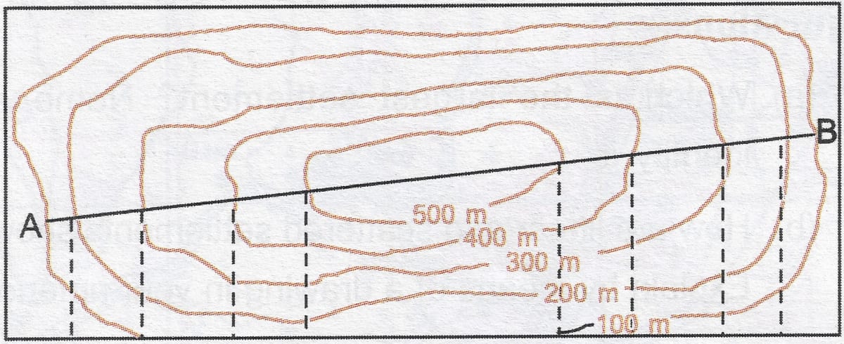
(ii) Find out the contour interval in the given toposheet.
(iii) Identify (a) Nuclear settlement, (b) linear settlement and (c) scattered settlement.
Geographical Features
Answer
(i) The grid references for the following landforms are:
Conical hill — 6930
Gentle slope — 7128
Steep slope — 7029
A saddle — 6935
Col — 7131
Pass — 7029
(ii) The contour interval in the given toposheet is 20 metres.
(iii) The different types of settlements are identified below:
(a) Nuclear settlement — Sanwara, Wahan, Gulabganj, Pithapura, Udwariya and Asawa are nuclear settlements.
(b) Linear settlement — Tokra and Sirori are a linear settlements.
(c) Scattered settlement — Sigarlikhera, Boki Derli and Burar Khera are scattered settlements.
Answered By